Episode #7
Mapping Human–Wildlife Conflict with Remote Sensing and Community Data
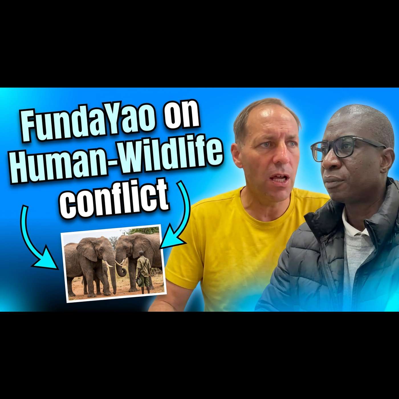
On the Fundayao Podcast, host Timo Balz speaks with Professor Walter Musakwa (University of Johannesburg, Fundayao co-founder) about human–wildlife conflict in Southern Africa, where people and animals increasingly share space due to land clearing, population growth, unfenced and transboundary parks, and broader pressures such as climate change, pollution, and biodiversity loss, leading to crop and infrastructure damage, injuries, and deaths. Musakwa outlines geospatial approaches to identify and manage conflict, including high-resolution satellite imagery (e.g., Pleiades for large herbivores), GPS collars, camera traps, acoustic “soundscape” devices, and participatory mapping via cell phones and community diaries. He emphasizes combining indigenous knowledge with GIS to locate hotspots and corridors, support community-led solutions, inform park responses, and influence policy, while democratizing access through open data and simple tools like Google Earth and possibly Baidu Maps. 00:00 Welcome and Guest Intro 01:12 What Human Wildlife Conflict Means 03:10 Why Conflict Is Increasing 04:08 Remote Sensing and GIS Methods 07:16 Seeing Animals From Space 08:23 Participatory Mapping and Trust 09:06 Citizen Science Upload Initiative 12:28 Hotspots Policy and Park Response 15:36 Indigenous Knowledge Meets Satellites 18:47 Democratizing Data Access 21:54 China Africa Satellite Data Potential 24:38 Advice for Early Career Scientists 28:08 Closing and Call to Connect